|
|
|
| Contact Bill at insight@energy-cg.com if you have any questions. | |
| FTP | |
|
Interactive 3D Map Showing The Earthquake
Activity Under Hawaii the 30 Days Prior to the May 2018 Kilauea
Eruption. What is interesting is how the earthquake activity under Hawaii in the month before the most recent Kilauea eruption is almost exclusively under the Kilauea rift zone. Also interesting is how the deep earthquake activity seems to show a lava chimney as the liquid rock migrates from the depths to just below the Kilauea rift zone. Finally, the shallow quake activity seems to create a planar feature that parallels the surface rift features. Pictures and videos are provided after 3D map. The following panel contains an interactive 3D map, which is provided on a illustrative basis to help provide geographic and geologic context. To use the map, rotate it using the left mouse button, zoom using the mouse wheel, and roam using the right mouse button. Link to full screen version the rotatable, zoomable, roamable version of the above map. |
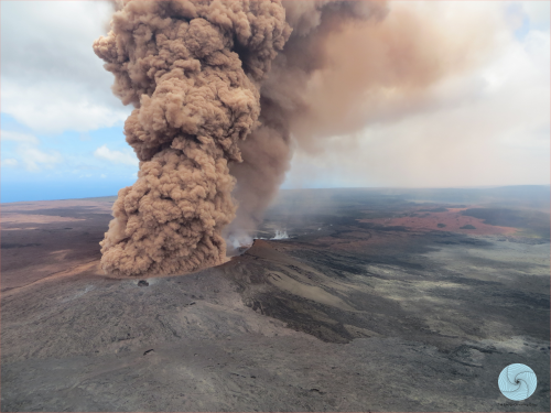
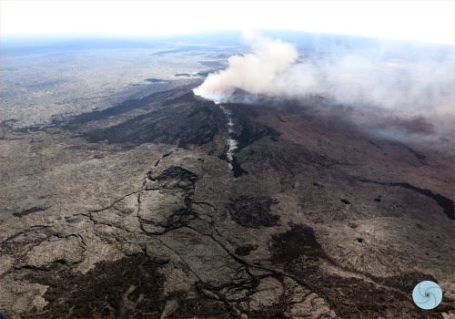
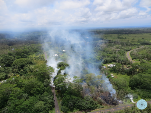
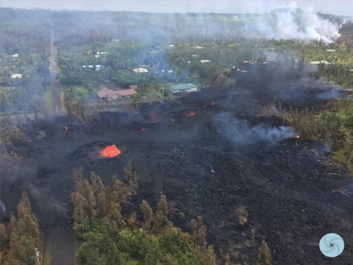
| The following pictures are all provided by the USGS, at this website. | |
 |
 |
 |
 |
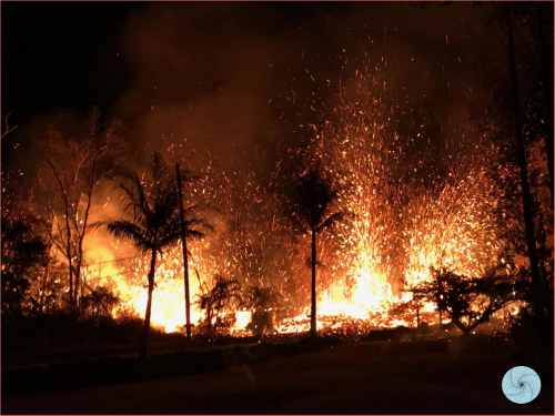 |
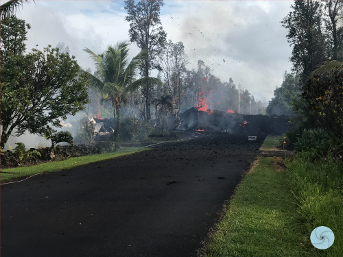 |
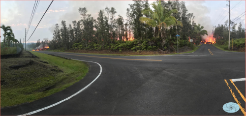 |
|
| May 2018 Kilauea Eruption Emerging Fissures - video | |
| May 2018 Kilauea Eruption Creeping Lava Flow - Video |
The Energy Consulting Group home page
|
|
|---|